
Muziris: The Lost Port of Kerala, from Pattanam to Kottappuram
Roman ships came here for pepper two thousand years ago, Tamil poets sang of it, and a papyrus in Vienna valued its cargoes in millions. Then the port vanished. The story of Muziris, Pattanam, Cheraman Parambu and Kottappuram Fort, through ancient texts, old maps and our own photographs.
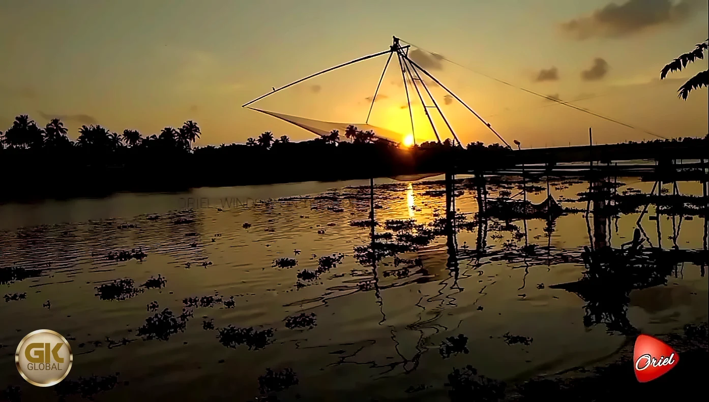
Two thousand years ago, ships from the Roman Empire crossed the Arabian Sea on the monsoon winds to a port on the Kerala coast that the Greeks called Mouziris and the Tamil poets called Muciri. They brought gold, wine and metals, and went home loaded with black pepper, ivory, pearls, fine textiles and precious stones. Muziris was, in the words of the Roman writer Pliny, "the first emporium of India". Then it disappeared, so completely that for centuries nobody could say where it had stood.
The search for Muziris leads to the mouth of the Periyar, to the old town of Kodungallur (Cranganore) and the villages around it: Pattanam, where excavations since 2007 have uncovered an ancient port; Kottappuram, where the ruins of a Portuguese fort look over the river; Cheraman Parambu, the site of the Chera kings' palace; and North Paravur, with its synagogue. This article walks through that landscape using ancient texts, old maps and engravings, and photographs taken on the spot. As always, our own assessments are clearly marked.
At a glance
- Where: around Kodungallur (Thrissur district) and North Paravur (Ernakulam district), about 30–40 km north of Kochi.
- What: the probable area of ancient Muziris; later Mahodayapuram, capital of the Chera Perumals; then Portuguese and Dutch Cranganore.
- Key sites: Pattanam excavation site, Kottappuram Fort, Cheraman Parambu, Cheraman Juma Masjid, Kodungallur Bhagavathi temple, Paravur and Chendamangalam synagogues, Paliam palace.
- Today: the area forms the Muziris Heritage Project zone of the Government of Kerala, with museums, boat routes and walking trails.
Muciri in the Tamil poems
The oldest description of the port comes not from Rome but from Tamil Sangam poetry, composed in the first centuries CE. A poem in the Akananuru (verse 149) describes "the beautifully made ships of the Yavanas" arriving at "thriving Muciri", churning the white foam of the river, bringing gold and carrying away pepper. "Yavana" originally meant Ionian Greeks, and came to mean any Westerner from the Mediterranean world. Another Sangam poem in the Purananuru speaks of sacks of pepper brought from the houses to the boats, and gold carried ashore from the ships. The picture is consistent: Muciri was a river port of the Chera kings, where Western gold was exchanged for the spice of the Malabar hills.
Muziris in Greek and Roman sources
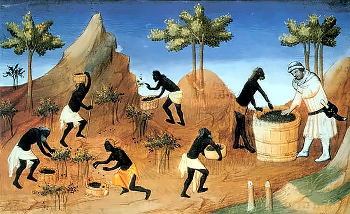
The Periplus of the Erythraean Sea, a Greek merchants' handbook of the mid-first century CE, gives the most practical account. Muziris, it says, "abounds in ships sent there with cargoes from Arabia, and by the Greeks"; it lies on a river, some distance up from its mouth. Ships came for pepper, which grew in only one region; for pearls, ivory, silk cloth, spikenard, malabathrum (cinnamon-tree leaves) and gems. They brought a great deal of coin, along with topaz, thin clothing, coral, glass, copper, tin, lead and wine.
The trade was made possible by the monsoon. Greek sailors learned (the Periplus credits a pilot called Hippalus) that the southwest winds of summer could carry a ship straight across the open sea from the mouth of the Red Sea to India, and the northeast winds of winter could carry it home. A round trip from Egypt took about a year.
Pliny the Elder, writing around 77 CE, called Muziris primum emporium Indiae, "the first trading place of India", but warned that it was not a desirable port: pirates lurked nearby, and ships had to anchor far out while cargo was ferried to and from the shore in boats. Pliny also grumbled that India drained the Roman Empire of 50 million sesterces every year, in exchange for luxuries.

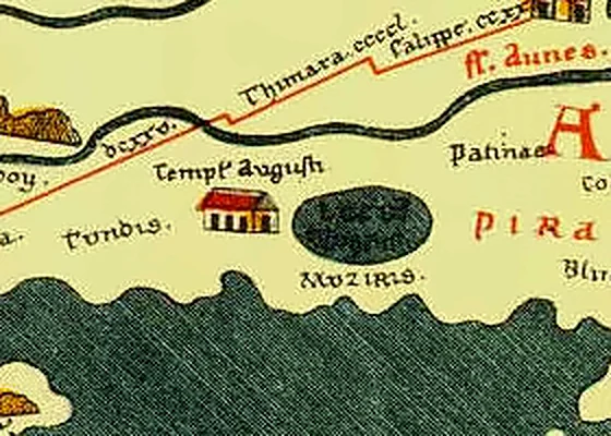
The Peutinger Table, a 13th-century copy of a Roman map whose original probably dates from the 4th or 5th century, marks Muziris near the eastern edge of the known world, with a building labelled Templum Augusti, a temple of Augustus. Whether Roman residents really built a temple to the emperor here is debated; no trace of it has been found.
The Muziris papyrus
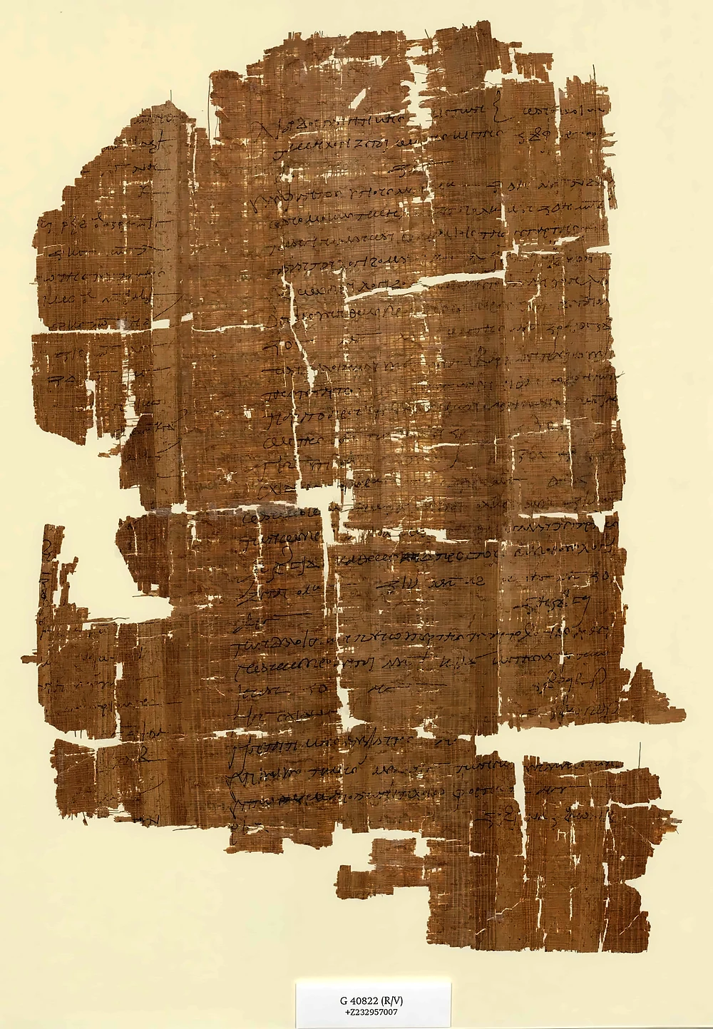
The most remarkable document is a damaged Greek papyrus in the Austrian National Library in Vienna (P. Vindob. G 40822), from the mid-2nd century CE. One side preserves part of a loan contract for a voyage to Muziris. The other side is a valuation of the cargo of a ship called the Hermapollon, returning from India: Gangetic nard, ivory and fine textiles worth, by modern calculations, roughly nine million sesterces, of which a quarter went to Rome in import tax. A single ship's cargo was worth enough to buy thousands of acres of the best land in Egypt. It is the clearest proof of the scale of the trade.
Pattanam: an ancient port in the ground
In the 1990s, villagers at Pattanam, about 4 km from the sea near North Paravur, were turning up beads and ancient pottery in their gardens. In 2006, archaeologists K. P. Shajan and V. Selvakumar suggested the site might be Muziris. From 2007 to 2015 the Kerala Council for Historical Research (KCHR), led by P. J. Cherian, carried out nine seasons of excavation, with international partners.
What they found was the first clear evidence of the Indo-Roman trade on the Kerala coast:
- A settlement occupied from about 1000 BCE, through the Iron Age, a busy early historic period (roughly 2nd century BCE to 4th century CE) and later centuries.
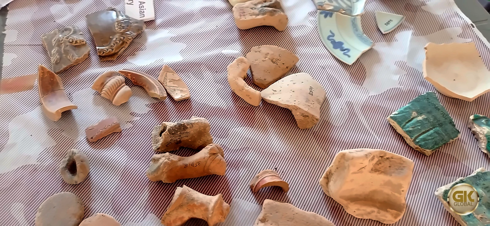
- Fragments of Roman amphorae, the jars that carried wine and olive oil, from several regions of the Mediterranean; fine Roman tableware; and pottery from Mesopotamia, Yemen and the Persian Gulf.
- A brick wharf structure and a dug-out canoe preserved in waterlogged soil, about 2,000 years old.
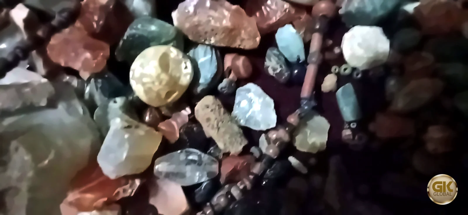
- Around 140 early Chera coins, and tens of thousands of beads of glass, carnelian, beryl, agate and other stones, together with unfinished pieces that suggest beads were made here.
- Well over a lakh of catalogued artefacts and millions of potsherds, which point to a large and long-lived community.
The project was not without controversy. In 2015 the Archaeological Survey of India suspended the KCHR's licence after complaints, and permits issued later were also cancelled; supporters of the excavators saw the complaints as politically motivated. The scientific results, however, have been widely published and accepted.

Our assessment: was Pattanam Muziris?
No inscription has been found at Pattanam naming it Muziris, so the identification cannot be proved. But the circumstantial evidence is strong:
- The location fits: near the old mouth of the Periyar, a few kilometres inland, as the Periplus describes, and within the old Chera country.
- The dates fit: the busiest phase coincides with the peak of Roman trade.
- The finds fit: Mediterranean amphorae, West Asian pottery and huge numbers of beads are exactly what a port trading with Rome and Arabia should leave behind.
- Above all, no rival site on this coast has produced comparable evidence.
Our view: Muziris was probably not a single town but a port zone spread along the lower Periyar and its backwaters, like many river ports of the ancient world, with anchorages, warehouses and settlements at several points. Pattanam was almost certainly part of it, perhaps its main settlement; Kodungallur, a few kilometres north, carried its name and its importance into the following centuries.
Mahodayapuram: the city of the Chera Perumals
From about the 9th to the early 12th century, Kodungallur, then called Mahodayapuram, was the capital of the Chera Perumals, the kings who ruled much of Kerala. Copper-plate charters of this period show a cosmopolitan port. In about 1000 CE the Perumal Bhaskara Ravi granted privileges to the Jewish merchant Joseph Rabban at "Muyirikkode", a name that seems to echo Muciri. Christian, Jewish and Muslim communities all trace their earliest Indian history to this coast.
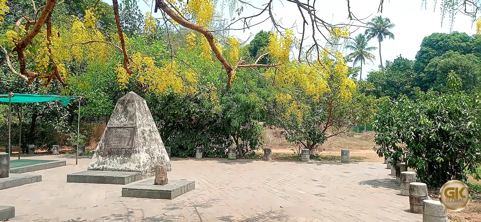
The site of the royal palace is known as Cheraman Parambu, "the compound of the Chera king", at Methala near Kodungallur. It was declared a protected monument by the Cochin State in 1936 and excavated in 1945–46 and again by the Archaeological Survey of India around 1969–70, when walls, wells, pottery, roof tiles and glass beads were found; most of the excavated layers date from the 13th to the 16th centuries, with some earlier remains. Little is visible today. A small pyramid-shaped memorial stands in a paved clearing, shaded in summer by the golden flowers of the konna tree.
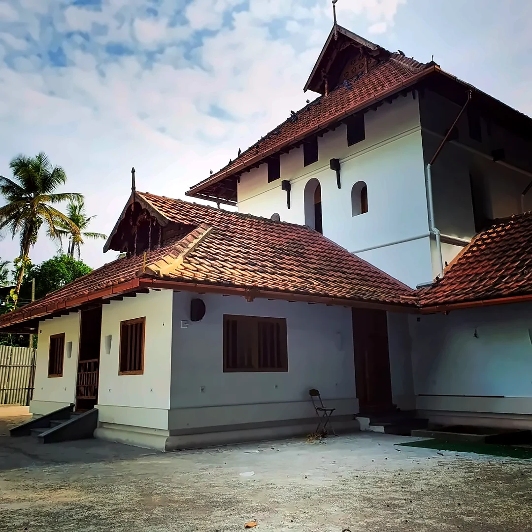
Nearby stands the Cheraman Juma Masjid. Tradition holds that it was founded in 629 CE, making it the oldest mosque in India, and links it with the legend of a Cheraman Perumal who went to Arabia and embraced Islam. Historians generally regard the date as traditional rather than documented, and the present building has been rebuilt more than once; but it is undoubtedly one of the oldest Muslim places of worship in South Asia. A restoration completed in 2022 removed a modern façade and brought back the old Kerala-style building with its tiled roofs.
Our assessment: why did Muziris vanish?
Popular history blames a single event: a great flood of the Periyar in 1341, which is said to have silted up the harbour at Kodungallur and opened a new channel and harbour at Kochi. The flood is recorded in local tradition and in later Jewish and Portuguese-era sources, and Kochi does rise in importance in the 14th century.
We think the flood was probably the final blow rather than the whole story. Rivers on this coast constantly build sandbars and shift their mouths, and the coastline itself has moved westward over two thousand years: Pattanam, once near the sea, now lies about 4 km inland. The decline of Roman trade after the 3rd century, the fall of the Chera Perumals in the 12th century and wars with neighbouring kingdoms all weakened the old port long before 1341. Muziris faded over centuries, and Kochi inherited its trade.
Cranganore and Kottappuram Fort
When the Portuguese arrived, Kodungallur, which they called Cranganore, still had large Christian and Jewish communities. In 1523 they built a fort at Kottappuram, on the river bank, and named it after St Thomas (Fortaleza de São Tomé); it was enlarged in 1565. The Dutch captured it after hard fighting in the early 1660s, during the campaign that also took Kochi. In 1789 the Dutch sold the Kodungallur and Pallippuram forts to Travancore for three lakh rupees. A few months later, on 7 May 1790, the fort was captured and destroyed by Tipu Sultan's army, an event that helped bring the British East India Company into the Third Anglo-Mysore War, which ended Mysore's power in Kerala.
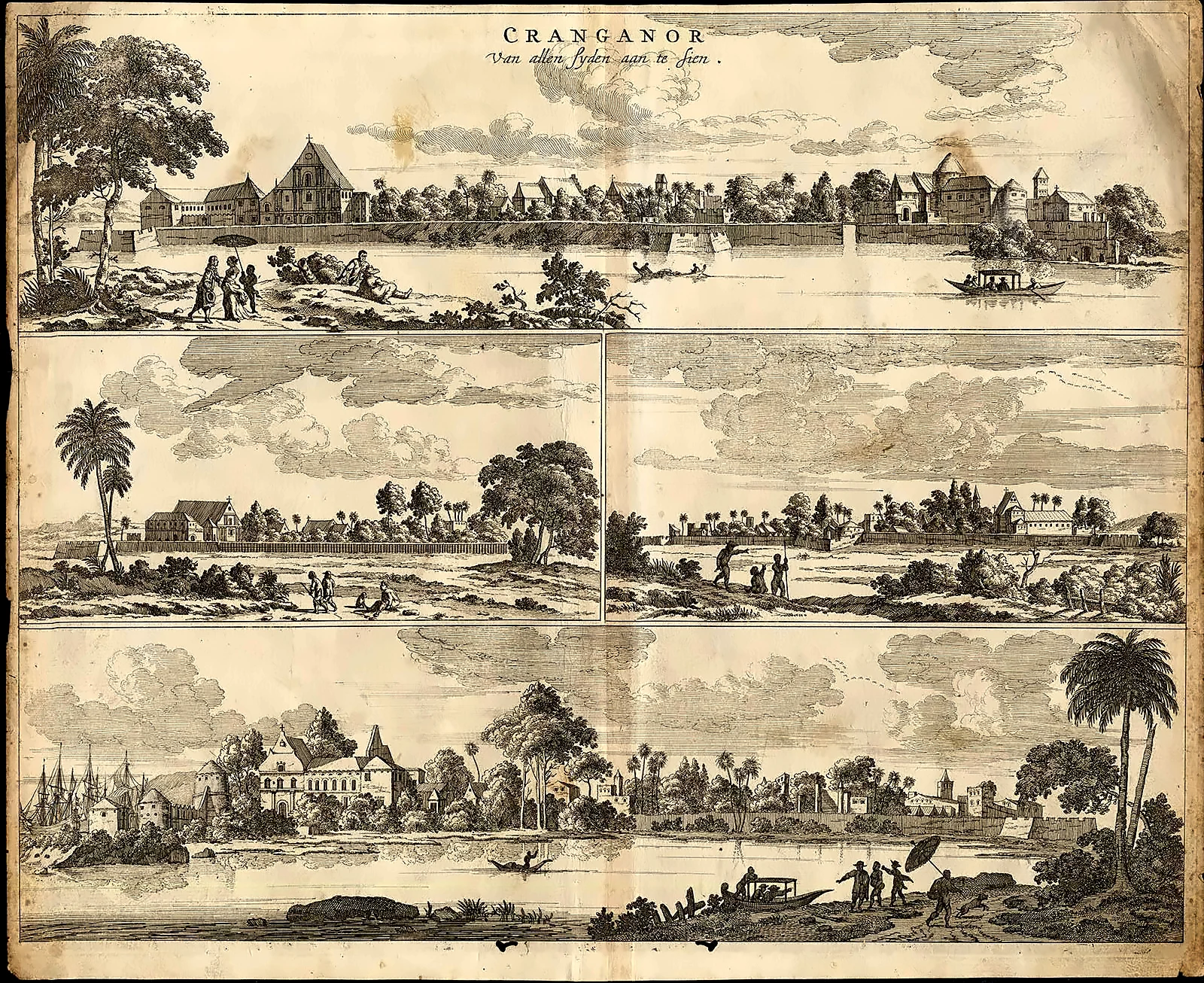
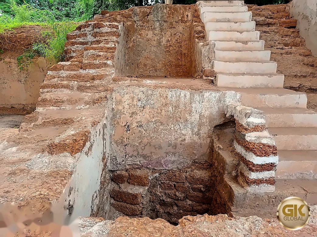
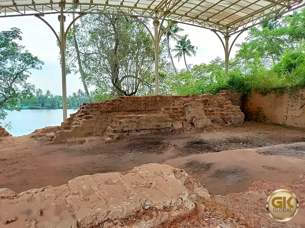
Since 2009, excavations under the Muziris Heritage Project have exposed the fort's foundations: thick walls of laterite, granite and brick, flights of steps, a cellar and a munition room, with finds such as coins, cannon balls, nails, hinges and pottery. The trenches are now protected under roofs, and the river flows past just as it did when Portuguese ships anchored here.
The Muziris landscape today
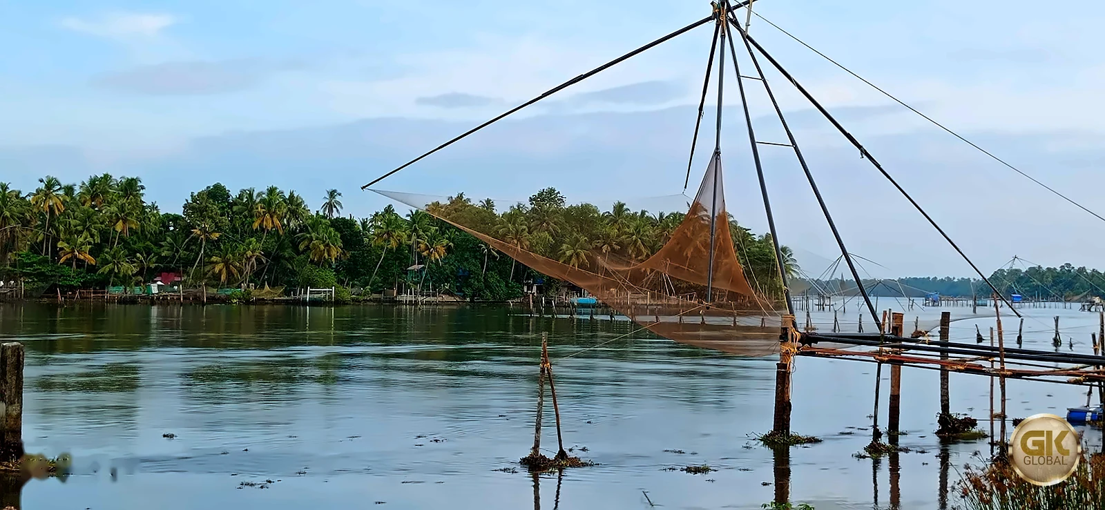
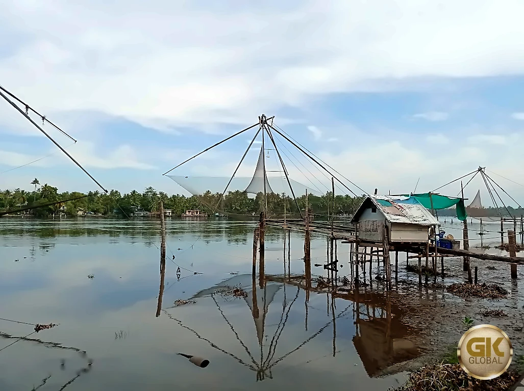
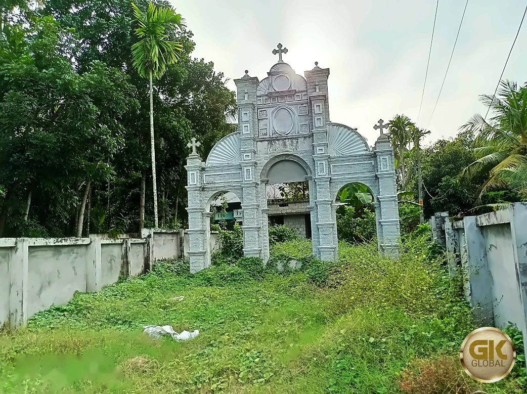
The Muziris Heritage Project, launched by the Government of Kerala, has restored monuments, opened museums and linked the sites by road and by boat. Among them:
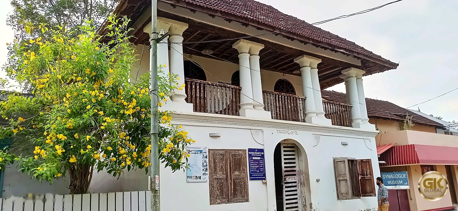
- Paravur Synagogue, now a museum of Kerala's Jewish history (see our Paravur Synagogue article), and the Chendamangalam Synagogue.
- Pattanam excavation site and the Kottappuram Fort.
- Cheraman Parambu and the Cheraman Juma Masjid.
- The Kodungallur Bhagavathi temple, famous for its Bharani festival, and the ancient Keezhthali Siva temple.
- The Paliam palace and nalukettu at Chendamangalam, home of the hereditary prime ministers of Kochi, and the Pallippuram fort.
Visiting
- Getting there: Kodungallur is about 35 km north of Kochi and 40 km from Thrissur; North Paravur is about 25 km from Kochi. Kochi airport (Nedumbassery) is about 25–30 km away.
- Tickets: museums of the Muziris Heritage Project, such as the Paravur Synagogue, charge a small fee; photography may not be allowed inside.
- Best time: October to March. The Kodungallur Bharani festival (March–April) draws very large crowds.
- Tip: the project's boat services connect several sites along the backwaters, the way traders once travelled.
Read also: Fort Kochi · Black pepper, the king of spices · The Jews of Kerala · Synagogues of Kerala · Padmanabhaswamy and Thiruvananthapuram
See it for yourself, with a local driver who knows these roads.
Book a Munnar Jeep SafariSources & further reading
- Wikipedia: Muziris
- Sahapedia: Interview with P. J. Cherian on Pattanam
- Outlook: Pattanam excavations, a timeline
- Dawn: the Muziris papyrus and the Indo-Roman trade
- Wikipedia: Fortaleza da São Tomé (Kottappuram / Cranganore Fort)
- Benny Kuriakose: the rebirth of the Kottappuram fort
- Wikipedia: Cheraman Parambu
- Kerala Tourism: Muziris Heritage Project
Figures are from the sources listed and were checked in October 2026. Park timings and road conditions change, so please confirm before you travel.