
Bekal Fort: Kerala's Largest Fort, from the Keladi Nayakas to Tipu Sultan
Forty acres of red laterite walls on a headland in the far north of Kerala, built by a Karnataka dynasty, seized by Hyder Ali and used by Tipu Sultan. Who really built Bekal, why it stands here, and what the excavations have found.

On a headland in the far north of Kerala, the sea breaks on three sides of a great ring of red laterite walls. Bekal Fort, in Kasaragod district, covers some 40 acres and is the largest fort in Kerala. It was not built by any Kerala king. It was raised in the 17th century by the Keladi Nayakas of Karnataka, captured by Hyder Ali of Mysore, used by Tipu Sultan and finally taken over by the British. Its walls record three centuries of struggle for the coast where Kerala meets Tulunadu.
As in our other long reads, we separate the established facts from tradition, and give our own assessment where the evidence is uncertain.
At a glance
- Where: Pallikere, about 16 km south-east of Kasaragod town, on the coast.
- Size: about 40 acres; walls about 12 m high, built of laterite.
- Built: mid-17th century, by the Keladi (Ikkeri) Nayakas; usually credited to Shivappa Nayaka.
- Later rulers: Mysore (Hyder Ali from 1763, then Tipu Sultan); the British East India Company from 1799.
- Today: a centrally protected monument of the Archaeological Survey of India.
A frontier coast
Kasaragod has always been a meeting place. Its southern and central parts belonged for centuries to the Kolathiri rajas of north Malabar, whose capitals included Nileshwaram; its northern parts belonged to the Tulu-speaking country of Tulunadu. Malayalam, Tulu, Kannada, Konkani, Beary and Urdu are all spoken here to this day. The Portuguese traveller Duarte Barbosa, writing in the 1510s, noted that rice was shipped from nearby Kumbla to the Maldives.
After the great Vijayanagara empire was broken at the Battle of Talikota in 1565, its former governors, the Nayakas of Keladi (also called Ikkeri, and later Bednore, after their capitals), built a kingdom of their own in the Western Ghats and the Kanara coast. Their most celebrated king, Shivappa Nayaka, who came to the throne in the 1640s, pushed south along the coast and guarded his gains with a chain of forts. Bekal and Chandragiri were the most important of them.
The fort
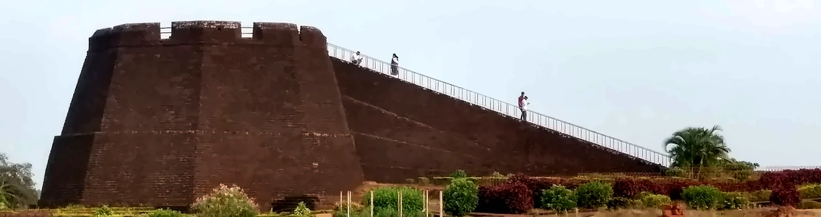
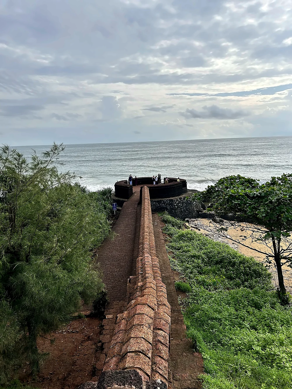
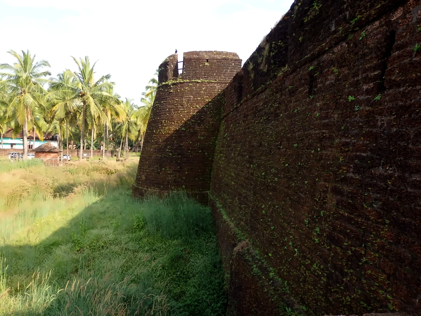
Bekal was built for the age of gunpowder. Its plan, often described as keyhole-shaped, follows the line of the headland, so that the sea itself forms most of the defence. On the land side a ditch protects the walls, and the main gate on the east is reached through a zigzag entrance flanked by bastions, designed to stop an enemy from charging straight in. The sea face is the strongest of all, with bastions jutting out into the water and openings for guns.
The loopholes in the walls are cut at different angles and heights, so that defenders could fire at targets far out at sea, at the foot of the wall and in between. Inside are a stepped water tank, a magazine for gunpowder, a tunnel opening towards the south, and a broad ramp leading to the observation tower at the centre, from which the whole coast can be watched. A rest-house was added in the British period.

Our assessment: who really built Bekal?
Guidebooks give a neat date, 1650, and name Shivappa Nayaka. The truth is less tidy:
- No foundation inscription has been found. Old British district manuals of South Canara place the Keladi forts loosely between 1625 and 1670.
- One tradition says the work was begun by Hiriya Venkatappa Nayaka and completed by Shivappa Nayaka; another says the Kolathiri rajas already had a fort here, which the Nayakas captured and rebuilt. The Archaeological Survey of India accepts that an earlier fort may have existed.
- Excavations by the ASI inside the fort have exposed laterite buildings of the Keladi and Mysore periods: a palace complex with a durbar hall, a temple complex, a building identified as a mint, and coins of the Mysore rulers, including a copper coin mould of Tipu Sultan's time.
Our view: the fort we see today, with its gun loopholes, zigzag gate and seaward bastions, is a 17th-century work of the Keladi Nayakas, altered by Mysore in the 18th century. A smaller Kolathiri stronghold may well have stood on this strategic headland before them, but no structure of that period has yet been identified. The excavations also correct a common claim that the fort had no palace or administrative buildings: it did, though little of them shows above ground.
Hyder Ali and Tipu Sultan
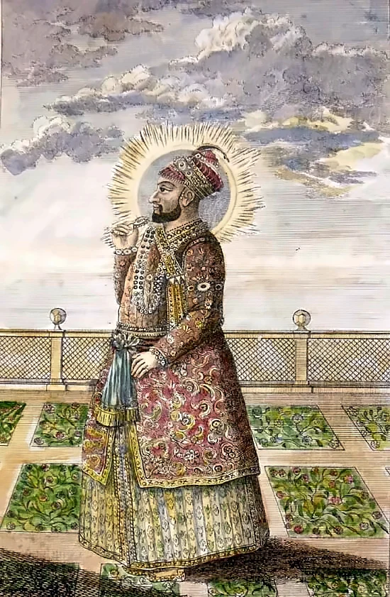
In 1763 Hyder Ali, the military ruler of Mysore, conquered the Keladi kingdom and took its coastal forts, Bekal among them. From here and from Mangalore he launched his invasions of Malabar, which reached as far as Kozhikode in 1766. His son Tipu Sultan continued the campaigns and used Bekal as a military station. Popular belief often calls Bekal "Tipu's fort"; he did not build it, though the observation tower and some other works may date from his time.
The Treaty of Seringapatam in 1792 handed Malabar to the British, but Bekal, as part of Canara, stayed with Mysore. Only after Tipu was killed defending his capital in May 1799 did the fort pass to the East India Company. It became part of the South Canara district of the Madras Presidency, and for a time the headquarters of a Bekal taluk. In 1800–01 the surveyor Francis Buchanan passed this way on his famous journey through Mysore, Canara and Malabar, and recorded Bekal, Chandragiri and the towns of the coast.

Chandragiri: Bekal's sister fort
About 10 km north, on a hill above the mouth of the Chandragiri river, stands the smaller Chandragiri Fort, built by Shivappa Nayaka in the same period. The river is often described as the old boundary between Tulunadu and the Kolathiri country, and the two forts together guarded the Keladi frontier. From the top of Chandragiri there is a fine view of the river meeting the sea.

Our assessment: why did a Karnataka kingdom fortify Kerala's coast?
We see three reasons. First, trade: rice, pepper and other goods of the Kanara and north Malabar coast were valuable, and the Portuguese and later the Dutch and English were competing for them. Forts protected ports and customs. Second, the frontier: Bekal and Chandragiri faced the Kolathiri country to the south, and showed the Keladi kingdom's reach. Third, the sea: in the age of European warships, a strong coastal fort was the only answer to naval guns. When Mysore inherited these forts, they became the springboard for its invasions of Malabar, which changed the history of Kerala.
Bekal today
Next to the fort entrance stands the Mukhyaprana temple, dedicated to Hanuman, and nearby is an old mosque, a reminder of the many communities of this coast. The beach park beside the fort is popular at sunset. Bekal became widely known across India after Mani Ratnam's film Bombay (1995) shot the song "Uyire" on its ramparts. The Government of India declared Bekal a special tourism area in 1992, and the Bekal Resorts Development Corporation was set up in 1995.
- Nearby: Chandragiri Fort; Kappil and Pallikere beaches; the Valiyaparamba backwaters; Nileshwaram, the old Kolathiri seat; the Malik Dinar mosque in Kasaragod town.
- Theyyam: from about December to April, the villages of Kasaragod and Kannur hold theyyam performances, the ritual dance-worship of north Kerala.
Visiting
- Getting there: Mangalore airport is roughly 70 km to the north. Kanhangad and Kasaragod railway stations are nearby, and a small Bekal Fort station is just beside the fort.
- Tickets and timings: the ASI charges a small entry fee; the fort is open during daylight hours. Check current details before visiting.
- Best time: October to March. Avoid the walls in heavy rain; the laterite becomes slippery.
- Tip: come in the late afternoon, walk the ramparts and stay for the sunset over the sea.
Read also: Kozhikode and Kappad · Keezhthali temple and Tipu's invasion · Muziris · Fort Kochi
See it for yourself, with a local driver who knows these roads.
Book a Munnar Jeep SafariSources & further reading
- Kerala Tourism: History of Kasaragod
- Kerala Tourism: Bekal Fort
- Anantam IAS: Bekal Fort, Keladi sea fort and Mysore's coastal station
- Military history wiki: Bekal Fort
- Wikipedia: Chandragiri Fort, Kerala
Figures are from the sources listed and were checked in October 2026. Park timings and road conditions change, so please confirm before you travel.