
Anayirangal: The Lake Where the Elephants Come Down
Twenty-odd kilometres from Munnar, below the Gap Road, a reservoir lies among tea gardens and forest. Its name means 'where the elephants descend', and they still do. The dam, the water's long journey to Ponmudi, the Arikomban years and the boats that fell silent.
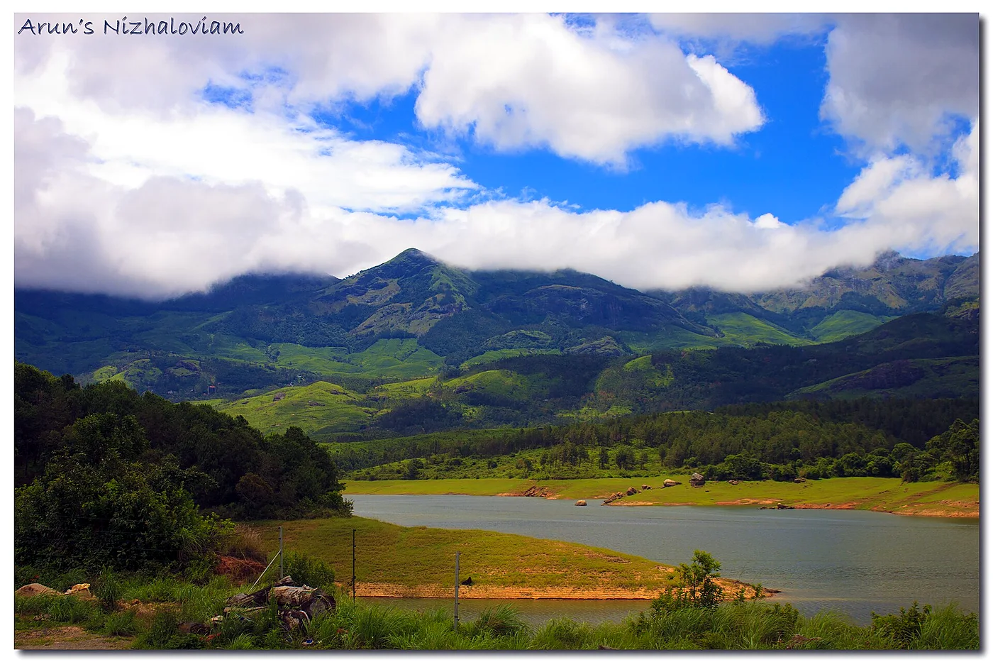
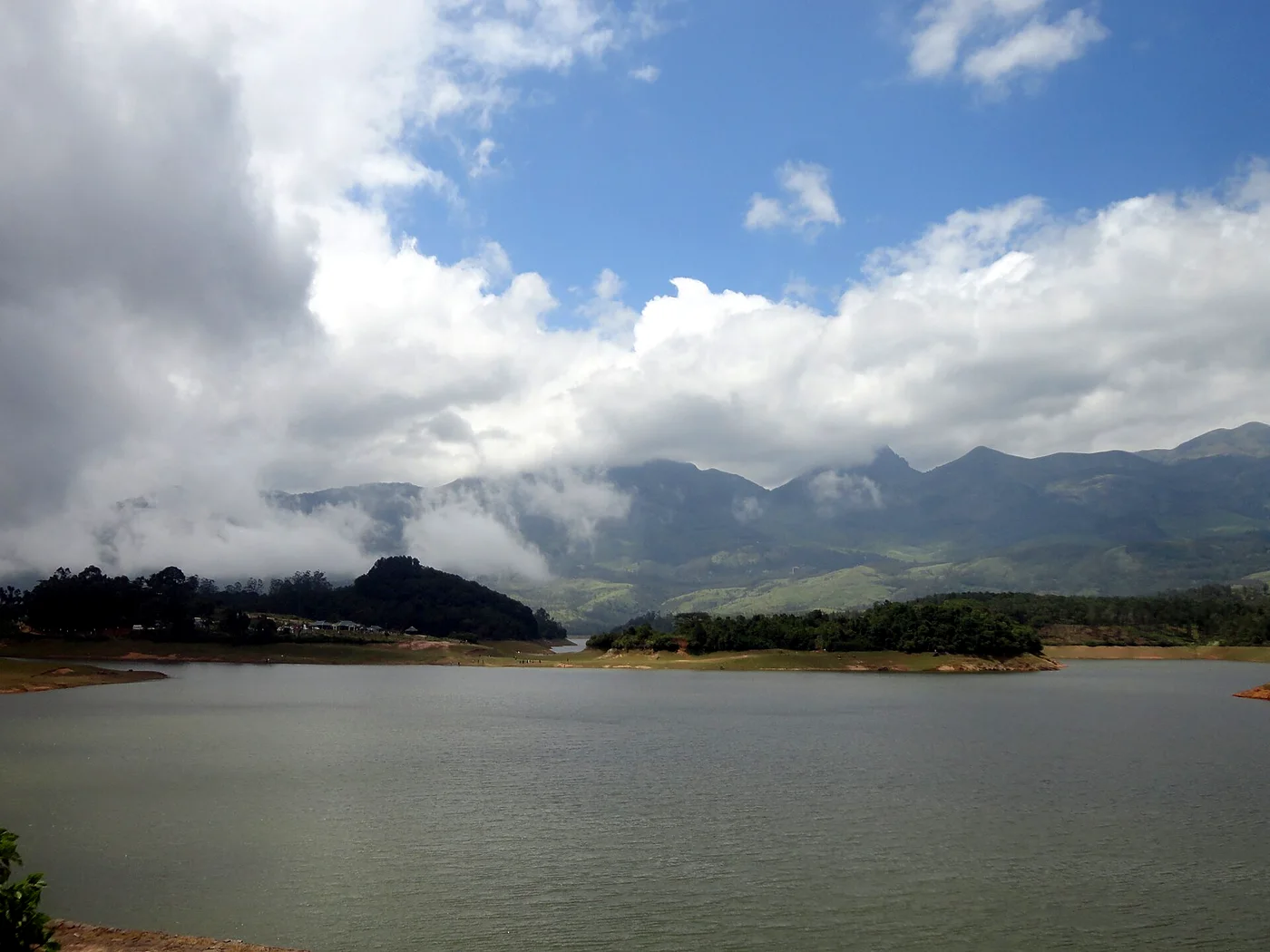
Drive down from Munnar towards Bodinayakkanur, through the tea of Lockhart estate and the rock cuttings of the Gap Road, and soon after Chinnakanal a broad sheet of water opens up below the road, ringed by tea gardens on one side and forest on the other. This is Anayirangal (also written Anayirankal). In Malayalam ana is elephant and irangal means coming down: it is the place where the elephants come down to the water. Some travel writers call it "Elephant Lake".
The dam
The lake is a reservoir, created by an earthen dam across the Panniyar river, a stream of the Periyar basin. According to the Kerala State Electricity Board (KSEB), which owns it:
- It was completed in 1965.
- It is about 34 m high and 326 m long.
- Its full reservoir level is about 1,207 m above sea level, and it stores about 50 million cubic metres of water.
- It lies in the Chinnakanal, Pooppara and Rajakumari area, roughly 22 to 28 km from Munnar depending on the route.
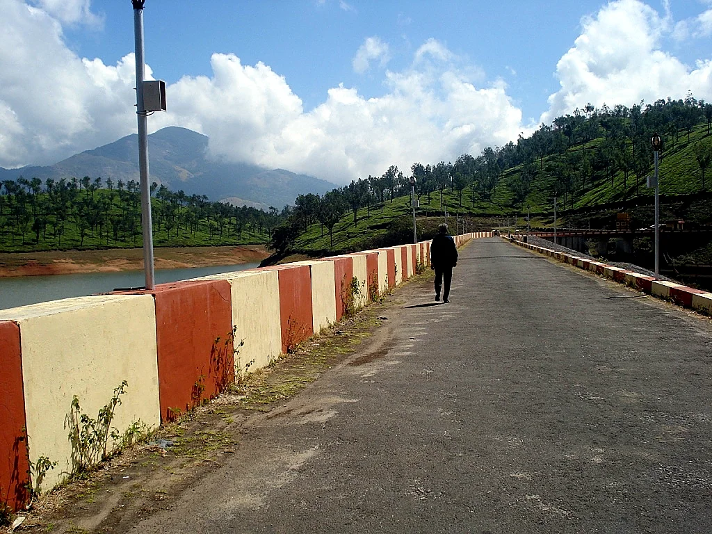
Anayirangal does not generate electricity itself. It is a storage dam, part of the Panniyar Hydro Electric Project. Water released from it flows down the Panniyar, is diverted near Kuthungal to a small power station there, and then reaches the Ponmudi reservoir. From Ponmudi it drops to the Panniyar power station and finally joins the Muthirapuzha, a major tributary of the Periyar. So a drop of water stored at Anayirangal can turn several turbines on its way down. (Read Ponmudi Dam and Idukki's dams.)
Elephant country
The name is not poetic licence. The forests around Chinnakanal, Anayirangal and Pooppara are among the most elephant-rich parts of the High Range, and they are close to the Mathikettan Shola National Park near Pooppara. (See the shola national parks.) Herds regularly come down to the reservoir to drink and graze on the grassy shores, especially in the dry season when the water recedes and leaves green margins.
But this landscape is also crowded. Over the past century the forest has been cut by tea estates, cardamom gardens, settlements and, from the early 2000s, resettlement colonies for landless tribal families, such as the area known as the 301 Colony. Elephant paths now cross farms and houses. Chinnakanal and Santhanpara became known across Kerala for human–elephant conflict: homes and ration shops broken into, crops destroyed and, tragically, people killed.
The Arikomban years
The most famous of these elephants was Arikomban, the "rice tusker", named for his habit of breaking into ration shops and kitchens to eat rice. After years of conflict and a fierce public debate, he was tranquillised and moved out of Chinnakanal on 29 April 2023. (Read his full story in Arikomban: the rice tusker.)
His story changed Anayirangal too. Kerala Hydel Tourism had run a popular boating centre on the reservoir for years. An expert committee set up in the Arikomban case concluded that the noise of diesel boats disturbed the elephants and polluted the air, and on 14 July 2023 the Kerala High Court ordered boating at Anayirangal to stop. The boats have been idle since. In 2026 the state government said it might ask the court to review the ban, but as a court order it can only be lifted by the court. At the time of writing, please check locally whether any boating is allowed before you plan around it.
Visiting today
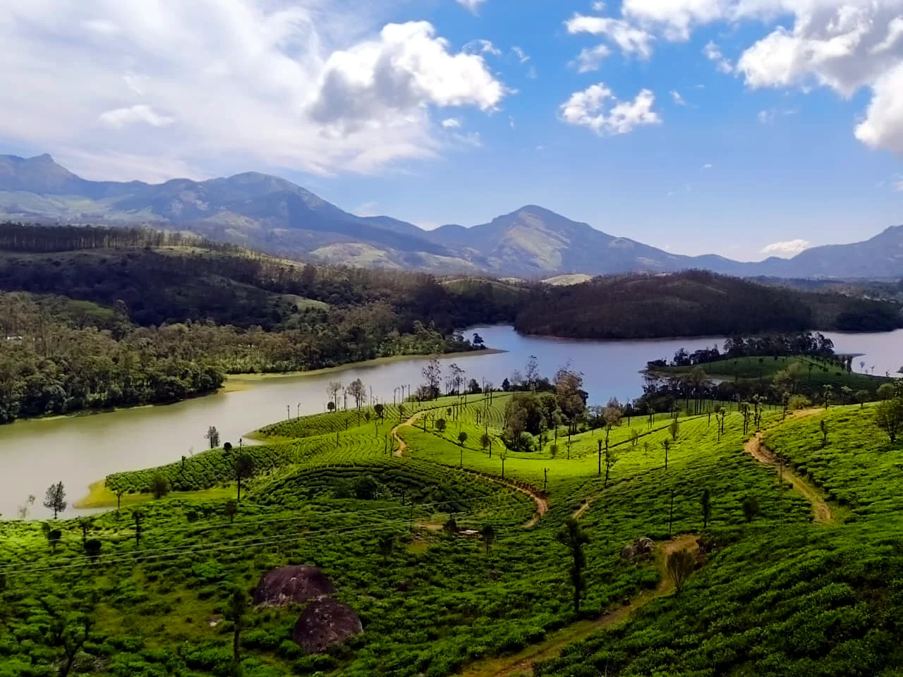
Even without boats, Anayirangal is a lovely place to stop. The views across the water to the tea gardens and the mountains are beautiful in every season, the road across the dam crest is one of the classic photo stops on the way to or from the Gap Road, and in the dry months there is a fair chance of seeing elephants on the far shore. Some practical points:
- Watch elephants only from a distance and from the roadside or viewpoints. Never walk down to the shore towards a herd.
- Do not stop on blind bends or block the road for photographs. This is a busy highway.
- Areas near the dam are restricted, as at all KSEB dams. Follow the signboards and instructions of staff.
- In the evening and at night, drive slowly. Elephants often cross the road in this area.
At a glance
- Dam: earthen dam on the Panniyar river, completed 1965, owned by KSEB.
- Name: "where the elephants come down".
- Boating: stopped by Kerala High Court order since July 2023 (check current status).
- Nearby: the Gap Road, Lockhart Gap viewpoints and the Malayil Kallan cave, Chinnakanal waterfall and the Kolukkumalai road from Suryanelli.
Read also: Living with wild animals in Munnar · Anakulam, where elephants come to drink
See it for yourself, with a local driver who knows these roads.
Book a Munnar Jeep SafariSources & further reading
- KSEB Dam Safety: Anayirankal Dam
- Onmanorama (June 2026): Government mulls re-examining ban on boating at Anayirankal reservoir
- Kerala Hydel Tourism: Anayirangal dam
- Wikipedia: Anayirangal Dam
Figures are from the sources listed and were checked in October 2026. Park timings and road conditions change, so please confirm before you travel.